(PO4)3− | NH3
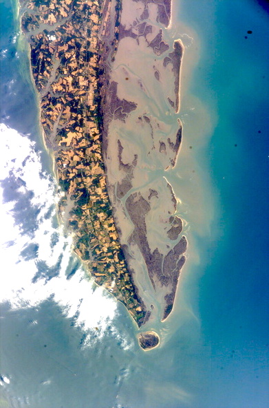
This sonification is a commission from the Coastal Futures Conservatory at the University of Virginia. The electronics map Long Term Ecological Research water quality sampling data from 1992-2018 from the mouth of Cattleshed Creek off of Hog Island. Despite the names, neither cattle nor hogs live on this barrier island, which has not been inhabited since the 1930s. The variation in ammonia and phosphate readings expressed in this sonification are therefore driven mainly by weather events, especially storms. The ammonium data set is mapped to the highest pitch-region; the phosphate data is mapped to the lowest pitch-region. In both sonifications, the increasing and decreasing values in the data are mapped to ascending and descending frequency (pitch), respectively. More specifically, this sonification assigns the data values of ammonium and phosphate levels to the cut off frequencies of the two filters displayed in the video, sweeping through a field recording of the shore.
The sonified data was generated by McGlathery, K. and R. Christian. 2018. The study is titled "Water Quality Sampling - integrated measurements for the Virginia Coast, 1992-2018", and is a part of the Virginia Coast Reserve Long-Term Ecological Research Project.